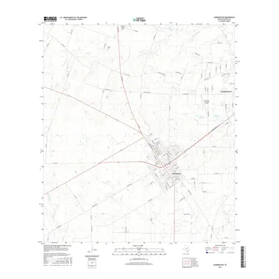
2016 Map of Jourdanton
USGS Topo · Published 2016About this map
Jourdanton serves as the focal point of this South Texas landscape, where the local street grid intersects with regional routes like Bluewind and Pearsall Road. To the northeast, the outskirts of Pleasanton begin to appear, illustrating the proximity and growth between these two Atascosa County hubs. The terrain is defined by a network of intermittent waterways, including Salt Branch, Goose Creek, and Stancel Creek, all contributing to the Atascosa River basin.
Find a feature on this map
111 named features on this map. Tap any name to fly to it.
Don’t see what you’re looking for? This feature index may not catch every label — zoom into the map to look around manually.
Map Details
Editions of this 2016 Jourdanton Map
This is the sole edition of this map. No revisions or reprints were ever made.
Other maps of this area

1953 · Crystal City
USGS Topo · 1:250,000

1954 · San Antonio
USGS Topo · 1:250,000

1955 · Crystal City
USGS Topo · 1:250,000

1956 · Pleasanton
USGS Topo · 1:62,500

1956 · Jourdanton
USGS Topo · 1:62,500

1957 · San Antonio
USGS Topo · 1:250,000

1961 · Crystal City
USGS Topo · 1:250,000

1964 · Leming
USGS Topo · 1:24,000

1968 · Crystal City
USGS Topo · 1:250,000
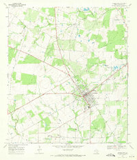
1968 · Jourdanton
USGS Topo · 1:24,000