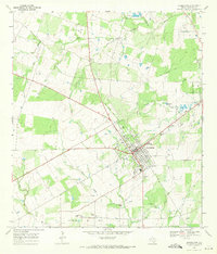
1968 Map of Jourdanton
USGS Topo · Published 1971About this map
Jourdanton serves as the focal point of this late-1960s landscape, situated at the crossroads of several significant drainage systems and industrial developments. The town's grid is anchored by central thoroughfares like Zanderson Ave and Willow St, stretching toward the Atascosa River in the northeast. This era shows a community deeply integrated with the energy sector, evidenced by the expansive Jourdanton Oil Field and numerous scattered Oil Wells across the surrounding plains. The presence of a Gas Plant and Water Tank installations suggests a period of established local infrastructure.
Find a feature on this map
25 named features on this map. Tap any name to fly to it.
Don’t see what you’re looking for? This feature index may not catch every label — zoom into the map to look around manually.
Map Details
Editions of this 1968 Jourdanton Map
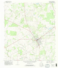
2 editions found
Other maps of this area

1953 · Crystal City
USGS Topo · 1:250,000

1954 · San Antonio
USGS Topo · 1:250,000

1955 · Crystal City
USGS Topo · 1:250,000

1956 · Pleasanton
USGS Topo · 1:62,500

1956 · Jourdanton
USGS Topo · 1:62,500

1957 · San Antonio
USGS Topo · 1:250,000

1961 · Crystal City
USGS Topo · 1:250,000

1964 · Leming
USGS Topo · 1:24,000

1968 · Crystal City
USGS Topo · 1:250,000
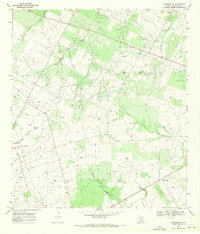
1968 · Dobrowolski
USGS Topo · 1:24,000