Loading...
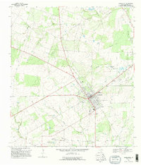
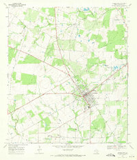
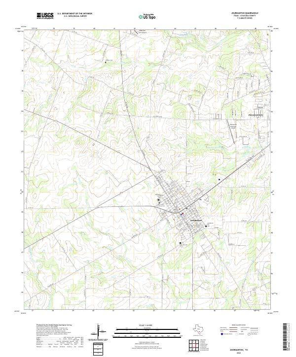
Loading map...1968 Map of Jourdanton
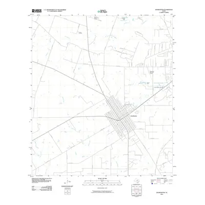
USGS Topo · Published 1995About this map
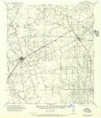
Jourdanton serves as the focal point of this Atascosa County landscape, showing the town's grid during a period of significant petroleum production. The extensive Jourdanton Oil Field dominates the southern portion of the map, marked by numerous Oil Wells, a Gas Plant, and a complex network of pipelines. This industrial activity is contrasted by the natural drainage systems of the Atascosa River and its tributaries, including Salt Branch and Goose Creek.
Find a feature on this map
26 named features on this map. Tap any name to fly to it.
Don’t see what you’re looking for? This feature index may not catch every label — zoom into the map to look around manually.
Map Details
Date Portrayed1968
Date Published1995
PublisherU.S. Geological Survey
Map TypeTopographic
Scale1:24,000
Physical Dimensions23.3 x 27.3 inches
Editions of this 1968 Jourdanton Map
2 editions found
Historical Maps of Pleasanton Through Time
7 maps found
Featured Locations
Source Details
SourceU.S. Geological Survey
CopyrightPublic Domain