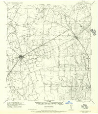
1956 Map of Jourdanton
USGS Topo · Published 1956About this map
Jourdanton serves as the focal point of this Atascosa County landscape, where the convergence of the San Antonio Southern (Mo Pac) and the Uvalde and Gulf Railway Company reflects the importance of rail transport to the regional economy. Beyond the town centers of Charlotte and Christine, the map reveals a network of rural homesteads and legacy cattle operations, including the Bluntzer Ranch and Stewart Ranch. These large holdings are interspersed with local landmarks like the Tobery School, providing a detailed look at the social and economic fabric of South Texas during the mid-20th century.
Find a feature on this map
38 named features on this map. Tap any name to fly to it.
Don’t see what you’re looking for? This feature index may not catch every label — zoom into the map to look around manually.
Map Details
Editions of this 1956 Jourdanton Map
This is the sole edition of this map. No revisions or reprints were ever made.
Other maps of this area
1930 · Whitsett
USGS Topo · 1:62,500
1934 · Schattel
USGS Topo · 1:62,500
1942 · Whitsett
USGS Topo · 1:62,500
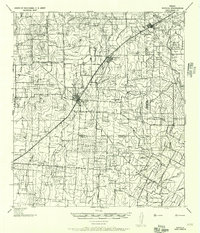
1942 · Natalia
USGS Topo · 1:62,500
1953 · Crystal City
USGS Topo · 1:250,000

1954 · San Antonio
USGS Topo · 1:250,000
1955 · Crystal City
USGS Topo · 1:250,000
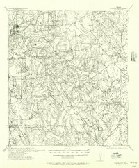
1956 · Pleasanton
USGS Topo · 1:62,500
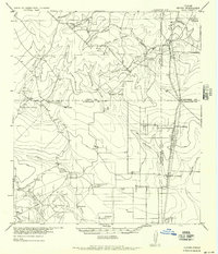
1956 · Hindes
USGS Topo · 1:62,500
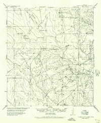
1956 · Franklin Settlement
USGS Topo · 1:62,500