
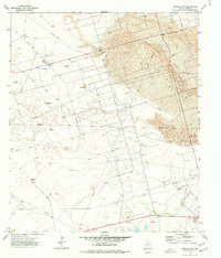
1974 Map of Juan Cordona Lake
USGS Topo · Published 1977About this map
Juan Cordona Lake dominates the central portion of this West Texas landscape, surrounded by the industrial signatures of the mid-1970s energy economy. This terrain, straddling the Crane Co Pecos Co line, is defined by the heavy presence of the Abell Oil and Gas Field and various other Oil Field operations. Numerous Oil Wells and a Pumping Sta are scattered across the arid flats, indicating the intensity of extraction in this era. To the south, the Pecos River meanders in tight, verdant loops across the boundary, providing a sharp contrast to the surrounding industrial activity. The presence of the Wid Canal No 3 and various Gravel Pits further illustrates the human modification of this environment for irrigation and resource management during this period of development.
Find a feature on this map
10 named features on this map. Tap any name to fly to it.
Don’t see what you’re looking for? This feature index may not catch every label — zoom into the map to look around manually.
Map Details
Editions of this 1974 Juan Cordona Lake Map
This is the sole edition of this map. No revisions or reprints were ever made.
Other maps of this area

1928 · Crane
USGS Topo · 1:125,000

1954 · Pecos
USGS Topo · 1:250,000

1957 · Pecos
USGS Topo · 1:250,000
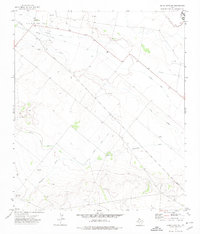
1972 · Buena Vista NE
USGS Topo · 1:24,000
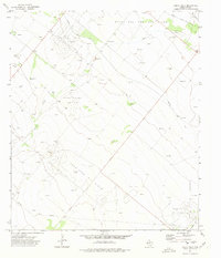
1972 · Buena Vista
USGS Topo · 1:24,000
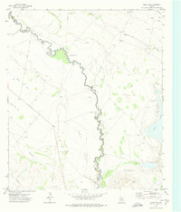
1972 · Girvin NW
USGS Topo · 1:24,000

1974 · Tubbs Corner
USGS Topo · 1:24,000

1974 · Crane SW
USGS Topo · 1:24,000
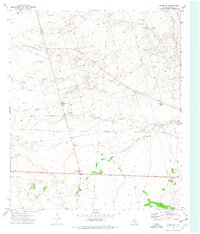
1974 · Crane NW
USGS Topo · 1:24,000
1974 · Imperial NW
USGS Topo · 1:24,000