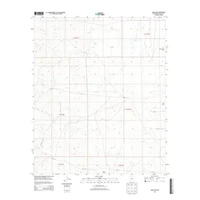
2013 Map of Juan Lake
USGS Topo · Published 2013About this map
Juan Lake and Antelope Lake punctuate this high plains landscape in eastern New Mexico, where the terrain is defined by a network of drainage basins. This 2013 survey from the U.S. Geological Survey illustrates a region dominated by ephemeral watercourses like Thirteenmile Draw and Zubi Draw, which carve subtle paths across the territory. The map is heavily gridded by Township and Range lines, including t13s r23e, reflecting the systematic land division of the American West. Transportation in this part of Chaves County relies on a sparse network of rural routes such as Co Road 112 and Chesser Rd, which provide access across the open range. The presence of Made Draw in the southern portion of the quadrangle further emphasizes the importance of these topographic features in an otherwise arid environment, serving as the primary landmarks for navigation and land management.
Find a feature on this map
15 named features on this map. Tap any name to fly to it.
Don’t see what you’re looking for? This feature index may not catch every label — zoom into the map to look around manually.
Map Details
Editions of this 2013 Juan Lake Map
This is the sole edition of this map. No revisions or reprints were ever made.
Other maps of this area

1949 · Hondo Reservoir
USGS Topo · 1:24,000

1949 · Peters Lake
USGS Topo · 1:24,000

1949 · Roswell South
USGS Topo · 1:24,000

1949 · Juan Lake
USGS Topo · 1:24,000

1955 · Hackberry Ranch
USGS Topo · 1:24,000

1955 · Kincaid Ranch
USGS Topo · 1:24,000

1955 · Roswell
USGS Topo · 1:250,000

1956 · Diamond A Ranch
USGS Topo · 1:24,000

1958 · Roswell
USGS Topo · 1:250,000
1959 · Hackberry Ranch
USGS Topo · 1:24,000