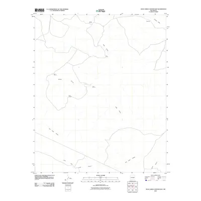
2010 Map of Juan Largo Canyon East
USGS Topo · Published 2010About this map
Corn Ranch and a series of vital water sources define this arid landscape in Lincoln County. The map details a high-desert environment where life revolves around the management of scarce water, evidenced by the strategic placement of Ingram Windmill, West Windmill, and South Windmill across the terrain. These landmarks serve as essential navigational and survival points within the drainage systems of Juan Largo Canyon and its smaller counterpart, Little Juan Largo Canyon.
Find a feature on this map
12 named features on this map. Tap any name to fly to it.
Don’t see what you’re looking for? This feature index may not catch every label — zoom into the map to look around manually.
Map Details
Editions of this 2010 Juan Largo Canyon East Map
This is the sole edition of this map. No revisions or reprints were ever made.
Other maps of this area

1954 · Fort Sumner
USGS Topo · 1:250,000

1955 · Roswell
USGS Topo · 1:250,000

1958 · Fort Sumner
USGS Topo · 1:250,000

1958 · Roswell
USGS Topo · 1:250,000

1962 · Roswell
USGS Topo · 1:250,000

1967 · North Lake
USGS Topo · 1:24,000

1967 · Chivata Canyon
USGS Topo · 1:24,000

1967 · Ramon SW
USGS Topo · 1:24,000

1979 · Fort Sumner
USGS Topo · 1:100,000
1979 · Salt Creek
USGS Topo · 1:100,000