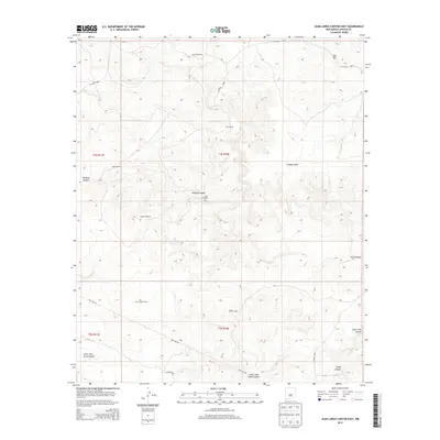
2013 Map of Juan Largo Canyon East
USGS Topo · Published 2013About this map
Corn Ranch sits at the heart of this Lincoln County landscape, surrounded by a complex system of drainage and terrain features including Juan Largo Canyon and its smaller counterpart, Little Juan Largo Canyon. The terrain is marked by essential water infrastructure typical of New Mexico ranching, with the Ingram Windmill, West Windmill, and South Windmill scattered across the high ground to support livestock.
Find a feature on this map
23 named features on this map. Tap any name to fly to it.
Don’t see what you’re looking for? This feature index may not catch every label — zoom into the map to look around manually.
Map Details
Editions of this 2013 Juan Largo Canyon East Map
This is the sole edition of this map. No revisions or reprints were ever made.
Other maps of this area

1954 · Fort Sumner
USGS Topo · 1:250,000

1955 · Roswell
USGS Topo · 1:250,000

1958 · Fort Sumner
USGS Topo · 1:250,000

1958 · Roswell
USGS Topo · 1:250,000

1962 · Roswell
USGS Topo · 1:250,000

1967 · North Lake
USGS Topo · 1:24,000

1967 · Chivata Canyon
USGS Topo · 1:24,000

1967 · Ramon SW
USGS Topo · 1:24,000

1979 · Fort Sumner
USGS Topo · 1:100,000
1979 · Salt Creek
USGS Topo · 1:100,000