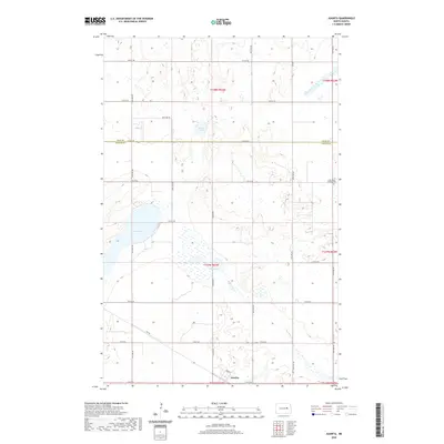
2020 Map of Juanita
USGS Topo · Published 2020About this map
Juanita sits at the southern edge of this landscape, characterized by a series of glacial lakes and prairie wetlands distributed across the northern Great Plains. The topography is defined by significant water bodies such as Juanita Lake and Stony Lake, which are part of a hydrologic network feeding into Baldhill Cr. This modern survey reveals a geometric road grid typical of North Dakota, where routes like Juanita Rd and Twp Rd delineate the section lines of the Public Land Survey System. Local heritage is grounded in sites like Saint Peter and Paul Cem located near the eastern boundary, providing a focal point for genealogical research. The map illustrates the persistent agrarian character of Foster and Eddy counties, showing how modern infrastructure such as Urban St within the settlement of Juanita integrates with the natural drainage patterns of Round Lake and the surrounding sloughs.
Find a feature on this map
26 named features on this map. Tap any name to fly to it.
Don’t see what you’re looking for? This feature index may not catch every label — zoom into the map to look around manually.
Map Details
Editions of this 2020 Juanita Map
This is the sole edition of this map. No revisions or reprints were ever made.
Other maps of this area

1900 · Pingree
USGS Topo · 1:125,000

1944 · Brantford
USGS Topo · 1:62,500

1946 · Brantford
USGS Topo · 1:62,500

1949 · Grace City
USGS Topo · 1:24,000

1950 · Grace City
USGS Topo · 1:24,000

1950 · Brantford NE
USGS Topo · 1:24,000

1951 · Bordulac NE
USGS Topo · 1:24,000

1951 · Kensal NW
USGS Topo · 1:24,000

1951 · Glenfield
USGS Topo · 1:24,000

1952 · New Rockford
USGS Topo · 1:250,000