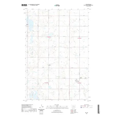
2020 Map of Jud
USGS Topo · Published 2020About this map
Jud and Alfred anchor this rural landscape in LaMoure County, exhibiting the characteristic grid-pattern development of the North Dakota plains. The settlement of Jud is particularly detailed, showing its street layout with thoroughfares such as Johnson St and Logie St. The surrounding countryside is defined by its water systems and ecclesiastical history, with Bone Hill Cr and Cottonwood Cr meandering through the prairie. For genealogists and local historians, the map provides precise locations for several faith-based burial grounds, including the Jud United Church of Christ Cem, Jud Lutheran Cem, and the Church of God Seventh Day Cem. This survey illustrates the enduring relationship between the small agricultural hubs and the expansive township and range sections that comprise the region's geography.
Find a feature on this map
27 named features on this map. Tap any name to fly to it.
Don’t see what you’re looking for? This feature index may not catch every label — zoom into the map to look around manually.
Map Details
Editions of this 2020 Jud Map
This is the sole edition of this map. No revisions or reprints were ever made.
Other maps of this area

1896 · Jamestown
USGS Topo · 1:125,000

1896 · Edgeley
USGS Topo · 1:125,000

1925 · Edgeley
USGS Topo · 1:125,000

1952 · Jud NW
USGS Topo · 1:24,000

1953 · Jamestown
USGS Topo · 1:250,000

1953 · Jud
USGS Topo · 1:24,000

1953 · Millarton
USGS Topo · 1:24,000

1953 · Jud SE
USGS Topo · 1:24,000

1956 · Jamestown
USGS Topo · 1:250,000

1982 · Schlecht-Weixel Dam
USGS Topo · 1:24,000