2024 Map of Jud
USGS Topo · Published 2024About this map
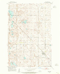
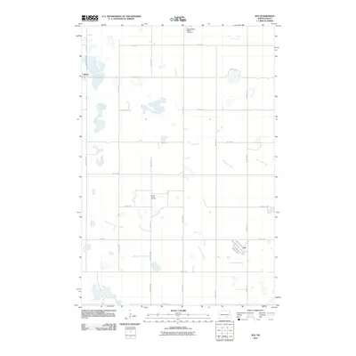
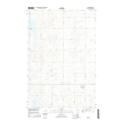
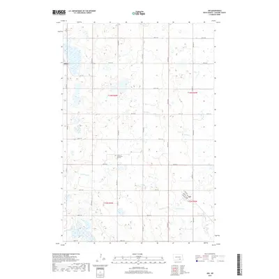
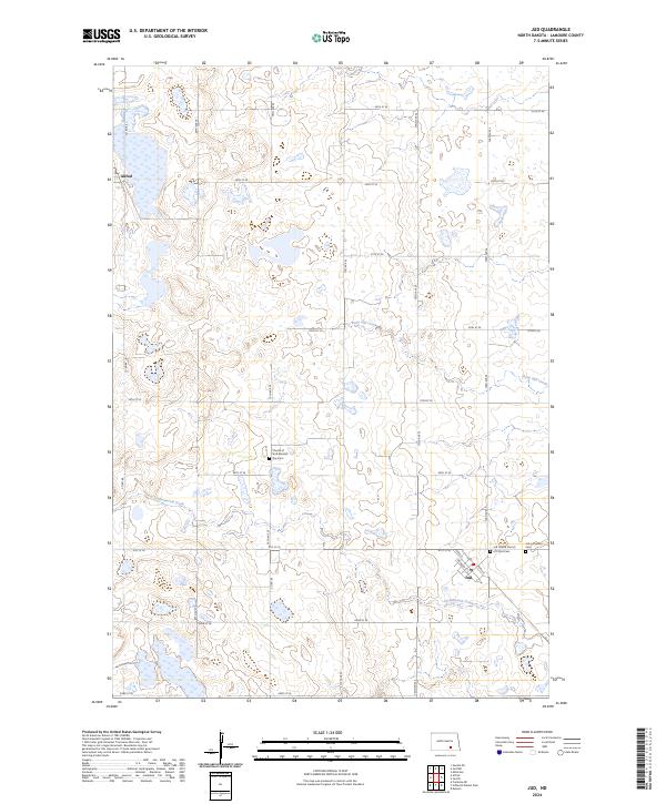
The prairies of LaMoure County are defined by a network of sectional roads and glacial wetlands, particularly within the Lamoure County Waterfowl Production Area. This agricultural landscape is anchored by the small settlements of Alfred in the northwest and Jud in the southeast, where local streets like Logie St and Johnson St mark the center of community life. The drainage of the land follows the winding paths of Bone Hill Creek and Cottonwood Creek, which cut across the grid of gravel roads including Co RD 66. For genealogists, the map preserves the locations of several distinct denominational burial grounds, including the Jud Lutheran Cem, the Jud United Church of Christ Cem, and the Church of God Seventh Day Cem. These sites, clustered near the town sites and along country roads, offer a clear record of the area's early settlement patterns and religious history.
Find a feature on this map
27 named features on this map. Tap any name to fly to it.
Don’t see what you’re looking for? This feature index may not catch every label — zoom into the map to look around manually.
Map Details
Editions of this 2024 Jud Map
This is the sole edition of this map. No revisions or reprints were ever made.
Historical Maps of Jud Through Time
6 maps found