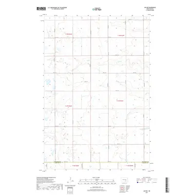
2017 Map of Jud NW
USGS Topo · Published 2017About this map
The prairie landscape at the Stutsman Co Lamoure Co border is defined by the subtle drainage patterns of Buffalo Cr and Cottontail Cr. This 2017 study of the region, which includes portions of Glen Township, captures a rural environment structured by a precise grid of section lines and secondary roads. The terrain is marked by numerous small depressions and wetlands typical of this part of the North Dakota plains, with travel corridors such as Co Hwy 65 and Co Rd 66 providing the primary transit routes between agricultural tracts. The map details the transition between multiple townships, including t138n r66w and t137n r65w, offering a clear view of land divisions and rural property boundaries as they existed in the late 2010s.
Find a feature on this map
25 named features on this map. Tap any name to fly to it.
Don’t see what you’re looking for? This feature index may not catch every label — zoom into the map to look around manually.
Map Details
Editions of this 2017 Jud NW Map
This is the sole edition of this map. No revisions or reprints were ever made.
Other maps of this area

1896 · Jamestown
USGS Topo · 1:125,000

1951 · Eldridge SE
USGS Topo · 1:24,000

1952 · Jud NW
USGS Topo · 1:24,000

1952 · Eldridge SW
USGS Topo · 1:24,000

1953 · Jamestown
USGS Topo · 1:250,000

1953 · Cleveland SE
USGS Topo · 1:24,000

1953 · Jud
USGS Topo · 1:24,000

1953 · Millarton
USGS Topo · 1:24,000

1953 · Jud SE
USGS Topo · 1:24,000

1956 · Jamestown
USGS Topo · 1:250,000