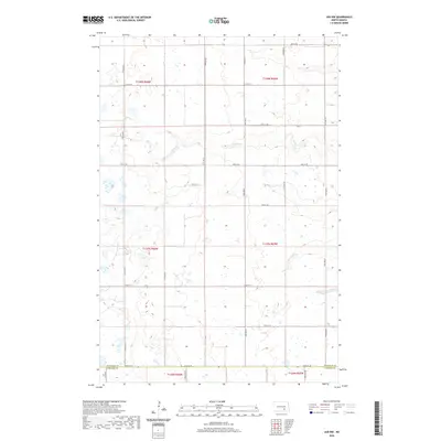
2020 Map of Jud NW
USGS Topo · Published 2020About this map
Buffalo Cr meanders through this agricultural landscape on the border of North Dakota's Prairie Pothole region. The terrain is characterized by numerous small wetlands and depressions typical of post-glacial topography, defining the rural character of this corner of the state. Cottontail Cr drains the southeastern portion of the sheet, cutting through a high density of sections used for cultivation and grazing. The map documents the precise jurisdictional boundary between Stutsman Co and LaMoure Co, following a grid of section lines and gravel roads including 54th St SE. This survey provides a baseline of water drainage patterns and land division across several townships, including portions of t138n r66w and t137n r65w, which are critical for understanding modern land use in this part of the Great Plains.
Find a feature on this map
17 named features on this map. Tap any name to fly to it.
Don’t see what you’re looking for? This feature index may not catch every label — zoom into the map to look around manually.
Map Details
Editions of this 2020 Jud NW Map
This is the sole edition of this map. No revisions or reprints were ever made.
Other maps of this area

1896 · Jamestown
USGS Topo · 1:125,000

1951 · Eldridge SE
USGS Topo · 1:24,000

1952 · Jud NW
USGS Topo · 1:24,000

1952 · Eldridge SW
USGS Topo · 1:24,000

1953 · Jamestown
USGS Topo · 1:250,000

1953 · Cleveland SE
USGS Topo · 1:24,000

1953 · Jud
USGS Topo · 1:24,000

1953 · Millarton
USGS Topo · 1:24,000

1953 · Jud SE
USGS Topo · 1:24,000

1956 · Jamestown
USGS Topo · 1:250,000