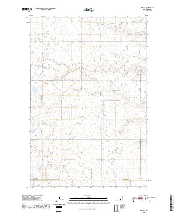
2024 Map of Jud NW
USGS Topo · Published 2024About this map
Stutsman County Waterfowl Production Area occupies a significant portion of this prairie landscape, highlighting the region's importance for migratory birds and local conservation efforts. The terrain is defined by the winding course of Buffalo Creek, which snakes through the western and central sections of the quadrangle, and the smaller Cottontail Creek in the east. This 2024 survey reflects a sparse, rural pattern of settlement in southern North Dakota, organized by a strict grid of section lines and county roads such as Co Hwy 65 and Co Rd 66. The area remains dominated by agriculture and natural wetlands, with numerous small potholes and ponds dotting the landscape between 46th St SE and 54th St SE, providing a detailed look at the contemporary land management and hydrologic features of the northern plains.
Find a feature on this map
26 named features on this map. Tap any name to fly to it.
Don’t see what you’re looking for? This feature index may not catch every label — zoom into the map to look around manually.
Map Details
Editions of this 2024 Jud NW Map
This is the sole edition of this map. No revisions or reprints were ever made.
Other maps of this area

1896 · Jamestown
USGS Topo · 1:125,000

1951 · Eldridge SE
USGS Topo · 1:24,000

1952 · Jud NW
USGS Topo · 1:24,000

1952 · Eldridge SW
USGS Topo · 1:24,000

1953 · Jamestown
USGS Topo · 1:250,000

1953 · Cleveland SE
USGS Topo · 1:24,000

1953 · Jud
USGS Topo · 1:24,000

1953 · Millarton
USGS Topo · 1:24,000

1953 · Jud SE
USGS Topo · 1:24,000

1956 · Jamestown
USGS Topo · 1:250,000