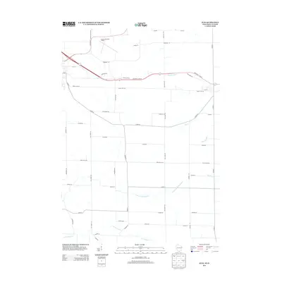
2013 Map of Juda
USGS Topo · Published 2013About this map
Monroe Municipal Airport anchors the northwest corner of this agricultural landscape, where the rural topography is defined by a dense network of watercourses and family-named roads. The land is drained by a series of significant tributaries, including N Fork Juda Br, Juda Br, and Riley School Br, which meander through the farmland toward the E Br Richland Cr. This map captures a moment of transition where established rural routes like Balls Mill Rd and Middle Juda Rd meet the modern corridors of State Road 11 and 81 and State Road 59 Monroe Sylvester Rd. The road names themselves, such as Stauffacher Rd, Tschudy Rd, and Rahberger Rd, provide a direct connection to the region's genealogical history and the families who settled this portion of Green County.
Find a feature on this map
49 named features on this map. Tap any name to fly to it.
Don’t see what you’re looking for? This feature index may not catch every label — zoom into the map to look around manually.
Map Details
Editions of this 2013 Juda Map
This is the sole edition of this map. No revisions or reprints were ever made.
Other maps of this area

1893 · Brodhead
USGS Topo · 1:62,500

1920 · Monroe
USGS Topo · 1:62,500

1922 · Monroe
USGS Topo · 1:62,500

1932 · Pecatonica
USGS Topo · 1:62,500

1936 · Pecatonica
USGS Topo · 1:62,500

1939 · Freeport
USGS Topo · 1:48,000

1944 · Freeport
USGS Topo · 1:62,500

1954 · Rockford
USGS Topo · 1:250,000

1955 · Rockford
USGS Topo · 1:250,000

1958 · Rockford
USGS Topo · 1:250,000