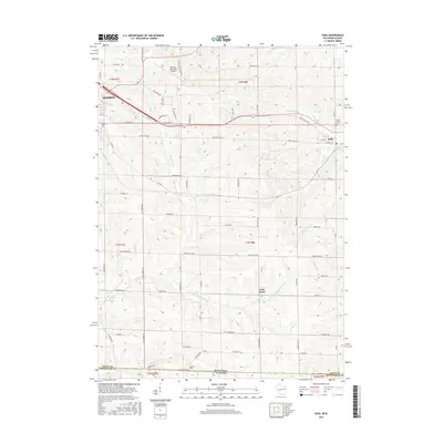
2016 Map of Juda
USGS Topo · Published 2016About this map
Richland Creek and its many tributaries, including Twin Grove Br Richland Cr and E Br Richland Cr, define the drainage patterns of this rural landscape along the Wisconsin-Illinois border. The eastern portion of the city of Monroe occupies the northwest corner, where the Monroe Municipal Airport and Calvary Cem are prominent features. To the east, the village of Juda sits at the junction of Walnut St and Main St, near the Mount Vernon Cem.
Find a feature on this map
67 named features on this map. Tap any name to fly to it.
Don’t see what you’re looking for? This feature index may not catch every label — zoom into the map to look around manually.
Map Details
Editions of this 2016 Juda Map
This is the sole edition of this map. No revisions or reprints were ever made.
Other maps of this area

1893 · Brodhead
USGS Topo · 1:62,500

1920 · Monroe
USGS Topo · 1:62,500

1922 · Monroe
USGS Topo · 1:62,500

1932 · Pecatonica
USGS Topo · 1:62,500

1936 · Pecatonica
USGS Topo · 1:62,500

1939 · Freeport
USGS Topo · 1:48,000

1944 · Freeport
USGS Topo · 1:62,500

1954 · Rockford
USGS Topo · 1:250,000

1955 · Rockford
USGS Topo · 1:250,000

1958 · Rockford
USGS Topo · 1:250,000