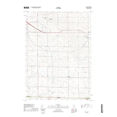
2018 Map of Juda
USGS Topo · Published 2018About this map
Monroe Municipal Airport and the surrounding dairy country of Green County define this agricultural landscape near the Illinois border. The terrain is deeply etched by a complex drainage network, including Richland Cr and its various tributaries such as the Twin Grove Br Richland Cr. Small settlements like Juda and Twin Grove serve as local hubs, connected by a grid of rural roads named for established local families and landmarks, such as Balls Mill Rd and Hiltbrand Ln. Genealogists will find several notable burial sites documented, including Mount Vernon Cem and Calvary Cem. The southern edge of the map tracks the state boundary where Wisconsin meets Illinois, providing a detailed look at the rural intersection of these two regions as they appeared in the late 2010s.
Find a feature on this map
59 named features on this map. Tap any name to fly to it.
Don’t see what you’re looking for? This feature index may not catch every label — zoom into the map to look around manually.
Map Details
Editions of this 2018 Juda Map
This is the sole edition of this map. No revisions or reprints were ever made.
Other maps of this area

1893 · Brodhead
USGS Topo · 1:62,500

1920 · Monroe
USGS Topo · 1:62,500

1922 · Monroe
USGS Topo · 1:62,500

1932 · Pecatonica
USGS Topo · 1:62,500

1936 · Pecatonica
USGS Topo · 1:62,500

1939 · Freeport
USGS Topo · 1:48,000

1944 · Freeport
USGS Topo · 1:62,500

1954 · Rockford
USGS Topo · 1:250,000

1955 · Rockford
USGS Topo · 1:250,000

1958 · Rockford
USGS Topo · 1:250,000