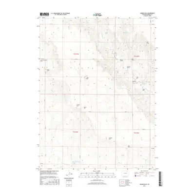
2016 Map of Judson Hills
USGS Topo · Published 2016About this map
Judson Hills and the surrounding high ground of Morgan County characterize this 2016 landscape, where the terrain is deeply etched by a network of drainage features. Water management in this semi-arid region is evident through infrastructure like the Jackpot Ditch and the Riverside Intake Canal, which facilitate movement between the local reservoirs. Notable water storage sites include Whittington Reservoir in the east and Christensen Reservoir Number 1 in the southwest, both serving as vital collection points for the seasonal flows of Wildcat Cr. The map reveals a naming tradition tied to the rugged topography, with features such as Minter Hill, Fry Hill, and Stony Point providing clear landmarks for navigation across the range. A series of canyons and draws, including Sterling Canyon and Scott Canyon, illustrate the complex erosion patterns that define this part of the Colorado high plains.
Find a feature on this map
36 named features on this map. Tap any name to fly to it.
Don’t see what you’re looking for? This feature index may not catch every label — zoom into the map to look around manually.
Map Details
Editions of this 2016 Judson Hills Map
This is the sole edition of this map. No revisions or reprints were ever made.
Other maps of this area

1951 · Weldona
USGS Topo · 1:24,000

1951 · Orchard
USGS Topo · 1:24,000

1951 · Sunken Lake
USGS Topo · 1:24,000

1951 · Peace Valley School
USGS Topo · 1:24,000

1951 · Judson Hills
USGS Topo · 1:24,000

1951 · Fort Morgan
USGS Topo · 1:24,000

1954 · Sterling
USGS Topo · 1:250,000

1954 · Greeley
USGS Topo · 1:250,000

1957 · Greeley
USGS Topo · 1:250,000

1958 · Greeley
USGS Topo · 1:250,000