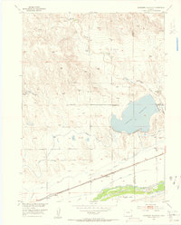
1953 Map of Julesburg Reservoir
USGS Topo · Published 1954About this map
The South Platte River valley dominates this 1953 landscape, showcasing an intricate network of irrigation and water management essential to the high plains. The expansive Julesburg Reservoir sits at the heart of the sheet, supported by a system of waterways including the Highline Canal and Settlers Ditch. Notable evidence of shifting water priorities appears in the decommissioned Sterling Outlet Canal (Aban'd) and Sprague Brothers Ditch (Aban'd), marking the evolution of local agriculture.
Find a feature on this map
17 named features on this map. Tap any name to fly to it.
Don’t see what you’re looking for? This feature index may not catch every label — zoom into the map to look around manually.
Map Details
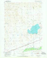
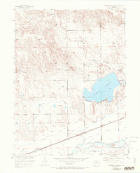
Editions of this 1953 Julesburg Reservoir Map
4 editions found
Other maps of this area

1899 · Sidney
USGS Topo · 1:125,000

1952 · Marks Butte
USGS Topo · 1:24,000

1953 · Tamarack Ranch
USGS Topo · 1:24,000

1953 · Crook
USGS Topo · 1:24,000

1953 · Twin Buttes
USGS Topo · 1:24,000

1953 · Julesburg Reservoir
USGS Topo · 1:24,000

1953 · Sedgwick
USGS Topo · 1:24,000

1954 · Sterling
USGS Topo · 1:250,000

1954 · Scottsbluff
USGS Topo · 1:250,000

1958 · Scottsbluff
USGS Topo · 1:250,000