
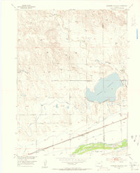
1953 Map of Julesburg Reservoir
USGS Topo · Published 1954About this map
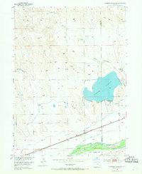
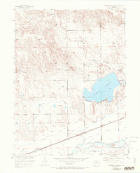
The Julesburg Reservoir dominates the eastern high plains of Logan County in this 1953 survey, illustrating the complex irrigation infrastructure vital to Colorado agriculture. Fed by Cottonwood Creek and a network of diversions including the Highline Canal, the reservoir serves as a central hub for water management in an otherwise arid landscape. To the south, the South Platte River valley defines the local economy, where the Union Pacific railroad parallels the river through the small settlement of Red Lion. The map reveals a transition from the elevated plains of Flat Top and Round Top down to the fertile river bottoms. Local history and land use are etched into the map through features like the Lakeside School and several defunct waterworks, such as the Sprague Brothers Ditch (Aban'd), showing the shifting patterns of settlement and irrigation over time.
Find a feature on this map
21 named features on this map. Tap any name to fly to it.
Don’t see what you’re looking for? This feature index may not catch every label — zoom into the map to look around manually.
Map Details
Editions of this 1953 Julesburg Reservoir Map
4 editions found
Other maps of this area

1899 · Sidney
USGS Topo · 1:125,000

1952 · Marks Butte
USGS Topo · 1:24,000

1953 · Tamarack Ranch
USGS Topo · 1:24,000

1953 · Crook
USGS Topo · 1:24,000

1953 · Twin Buttes
USGS Topo · 1:24,000

1953 · Sedgwick
USGS Topo · 1:24,000

1954 · Sterling
USGS Topo · 1:250,000

1954 · Scottsbluff
USGS Topo · 1:250,000

1958 · Scottsbluff
USGS Topo · 1:250,000

1958 · Sterling
USGS Topo · 1:250,000