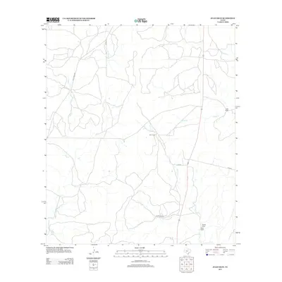
2012 Map of Julio Draw
USGS Topo · Published 2012About this map
Baker Ranch and the deep drainage of Julio Draw define this portion of Kimble County, Texas, as it appeared in the early 21st century. The landscape is characterized by a network of seasonal watercourses and creek beds, including Bear Cr, Las Moras Cr, and Gentry Cr, which converge to shape the local topography. This area is sparsely settled, with the map focusing on large ranching properties connected by a modest road network including Tillman Ranch Rd, Spiller Ln, and Ranch Road 2291. The map provides a detailed record of the physical geography and ranching infrastructure, capturing the specific locations of Turkey Draw and West Draw along with significant crossings at Big Saline Cr and S Saline Cr. This survey is an essential document for understanding the modern rural distribution and water-management patterns in this part of the Texas Hill Country.
Find a feature on this map
15 named features on this map. Tap any name to fly to it.
Don’t see what you’re looking for? This feature index may not catch every label — zoom into the map to look around manually.
Map Details
Editions of this 2012 Julio Draw Map
This is the sole edition of this map. No revisions or reprints were ever made.
Other maps of this area

1954 · Llano
USGS Topo · 1:250,000

1955 · Llano
USGS Topo · 1:250,000

1956 · Llano
USGS Topo · 1:250,000

1970 · San Augustine Draw
USGS Topo · 1:24,000

1970 · Julio Draw
USGS Topo · 1:24,000
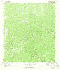
1970 · Rust Ranch
USGS Topo · 1:24,000

1970 · Brewer Hollow
USGS Topo · 1:24,000

1970 · Elm Slough
USGS Topo · 1:24,000

1970 · East Elm Creek
USGS Topo · 1:24,000
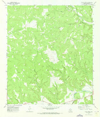
1970 · Stark Creek
USGS Topo · 1:24,000