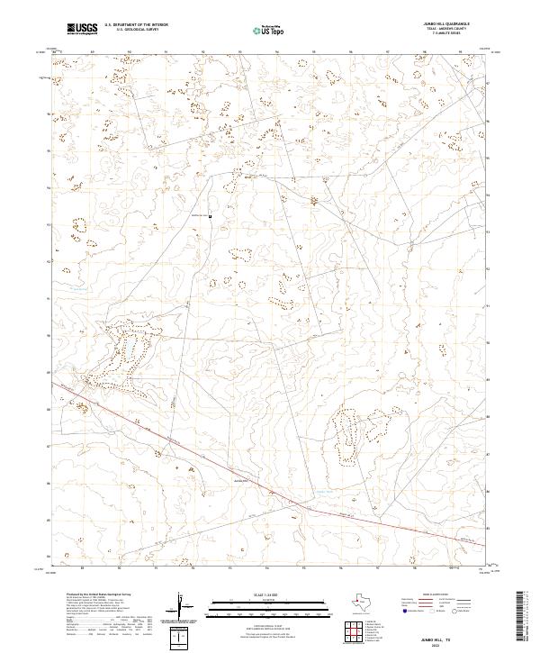
2022 Map of Jumbo Hill
USGS Topo · Published 2022About this map
McWhorter Cem stands as a focal point for family history in this corner of Andrews County, surrounded by the open range of the High Plains. The landscape is defined by its subtle topographic shifts and isolated water sources, such as the natural Scratch Springs and the managed waters of Jumbo Tank. A sparse network of unpaved tracks, including NW 9500 and NW 8801, provides access to ranching operations that have long characterized this region. The terrain rises slightly at Jumbo Hill, a landmark that overlooks the path of Ranch Rd 87 as it cuts across the southern portion of the quadrangle. This 2022 survey illustrates the enduring rural character of West Texas, where the infrastructure is largely dedicated to large-scale ranching and the management of scarce water resources.
Find a feature on this map
8 named features on this map. Tap any name to fly to it.
Don’t see what you’re looking for? This feature index may not catch every label — zoom into the map to look around manually.
Map Details
Editions of this 2022 Jumbo Hill Map
This is the sole edition of this map. No revisions or reprints were ever made.
Other maps of this area

1954 · Hobbs
USGS Topo · 1:250,000

1958 · Hobbs
USGS Topo · 1:250,000

1969 · Hobbs SE
USGS Topo · 1:24,000

1969 · Eunice NE
USGS Topo · 1:24,000

1969 · Eunice SE
USGS Topo · 1:24,000

1971 · Brinson Ranch
USGS Topo · 1:24,000

1971 · Paynes Corner SE
USGS Topo · 1:24,000

1971 · Frankel City
USGS Topo · 1:24,000

1971 · Jumbo Hill
USGS Topo · 1:24,000

1971 · Whalen Lake
USGS Topo · 1:24,000