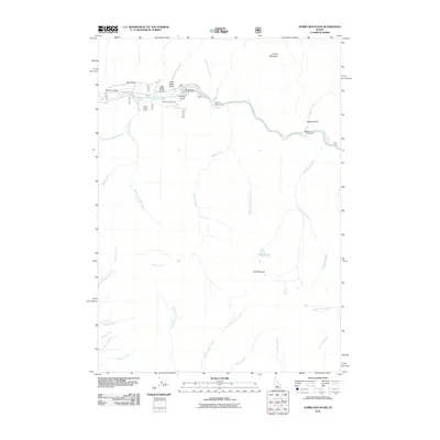
2011 Map of Jumbo Mountain
USGS Topo · Published 2011About this map
Gardner Creek Corral and Kelley Creek Corral stand as markers of livestock management along the South Fork Boise River corridor in this Idaho high-country survey. The landscape is defined by its dramatic drainage systems, including Beaver Creek, Deadwood Creek, and the many gulches like Van Gulch and Gardner Gulch that feed into the main river channel. High peaks such as Jumbo Mountain and Iron Mountain anchor the topography, with Heart Lake providing a rare still-water feature among the numerous streams. This area serves primarily as a recreational and resource management zone, evidenced by established sites like Baumgartner Campground and Bighorn Campground near the river. The concentration of water sources, from Middle Fork Lime Creek to Cold Spring Creek, illustrates the complex hydrologic network of Elmore County, supporting a wilderness-focused economy accessed by routes like Nat For Dev Rd 227.
Find a feature on this map
37 named features on this map. Tap any name to fly to it.
Don’t see what you’re looking for? This feature index may not catch every label — zoom into the map to look around manually.
Map Details
Editions of this 2011 Jumbo Mountain Map
This is the sole edition of this map. No revisions or reprints were ever made.
Other maps of this area

1892 · Camas Prairie
USGS Topo · 1:125,000

1893 · Camas Prairie
USGS Topo · 1:125,000

1894 · Rocky Bar
USGS Topo · 1:125,000

1900 · Sawtooth
USGS Topo · 1:125,000

1955 · Hailey
USGS Topo · 1:250,000

1957 · Fairfield
USGS Topo · 1:62,500

1959 · Hailey
USGS Topo · 1:250,000

1962 · Hailey
USGS Topo · 1:250,000

1963 · Deer Mountain
USGS Topo · 1:24,000
1963 · Sprout Mtn
USGS Topo · 1:24,000