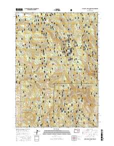
2017 Map of Jump-off Joe Mountain
USGS Topo · Published 2017About this map
Malheur National Forest provides the backdrop for this study of the boundary between Grant and Harney counties. The landscape is dominated by a series of prominent peaks and high meadows, including Jump-off Joe Mtn, Wolf Mtn, and the wide Wolf Creek Meadow. This high-altitude terrain is characterized by a dense network of mountain springs and headwaters that feed the region's drainage systems. Named water sources like Three Cabin Spring, Bear Wallow Spring, and Davidson Spring are scattered across the slopes, often serving as critical points for forestry management and historical backcountry travel. The survey details the complex system of forest roads, such as Natl Forest Develop Road 1710 Rd and Natl Forest Develop Road 3930 Rd, which provide access to timber and recreational resources within the central Oregon wilderness.
Find a feature on this map
71 named features on this map. Tap any name to fly to it.
Don’t see what you’re looking for? This feature index may not catch every label — zoom into the map to look around manually.
Map Details
Editions of this 2017 Jump-off Joe Mountain Map
This is the sole edition of this map. No revisions or reprints were ever made.
Other maps of this area

1955 · Burns
USGS Topo · 1:250,000

1955 · Canyon City
USGS Topo · 1:250,000

1958 · Burns
USGS Topo · 1:250,000

1959 · Burns
USGS Topo · 1:250,000

1959 · Canyon City
USGS Topo · 1:250,000

1961 · Calamity Butte
USGS Topo · 1:62,500

1961 · Logan Valley
USGS Topo · 1:62,500

1961 · Seneca
USGS Topo · 1:62,500

1968 · Van
USGS Topo · 1:62,500

1978 · John Day
USGS Topo · 1:100,000