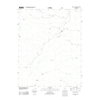
2012 Map of Jumpup Point
USGS Topo · Published 2012About this map
Jumpup Cabin stands as a solitary human outpost in this arid landscape, situated near the intersection of several deep drainage systems. The terrain is defined by dramatic elevation changes and a sophisticated network of water sources, including Jumpup Tank, Jumpup Spring, and Mountain Sheep Spring. These features suggest a history of livestock management and seasonal habitation in a region where water is the primary arbiter of survival.
Find a feature on this map
27 named features on this map. Tap any name to fly to it.
Don’t see what you’re looking for? This feature index may not catch every label — zoom into the map to look around manually.
Map Details
Editions of this 2012 Jumpup Point Map
This is the sole edition of this map. No revisions or reprints were ever made.
Other maps of this area

1886 · Kaibab
USGS Topo · 1:250,000

1953 · Grand Canyon
USGS Topo · 1:250,000

1957 · Grand Canyon
USGS Topo · 1:250,000

1957 · Jumpup Canyon
USGS Topo · 1:62,500

1958 · Grand Canyon
USGS Topo · 1:250,000

1958 · Big Springs
USGS Topo · 1:62,500

1960 · Grand Canyon
USGS Topo · 1:250,000

1962 · Kanab Point
USGS Topo · 1:62,500
1962 · Powell Plateau
USGS Topo · 1:62,500

1984 · Grand Canyon
USGS Topo · 1:100,000