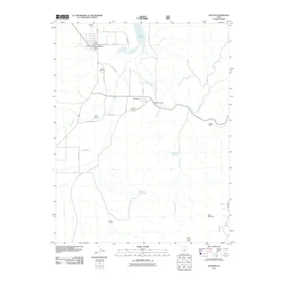
2011 Map of Junction
USGS Topo · Published 2011About this map
The confluence of the Sevier River and the East Fork Sevier River shapes the development of Piute County, where the settlement of Junction serves as a vital local hub. The town's grid is anchored by essential community infrastructure including the Junction Post Office and the Junction Airport. Genealogists will find this particular survey invaluable for its meticulous detail of local burial grounds, documenting the Junction Hill Cemetery, Junction Cemetery, and the Junction Lower Cemetery in close proximity to the town center.
Find a feature on this map
34 named features on this map. Tap any name to fly to it.
Don’t see what you’re looking for? This feature index may not catch every label — zoom into the map to look around manually.
Map Details
Editions of this 2011 Junction Map
This is the sole edition of this map. No revisions or reprints were ever made.
Other maps of this area

1885 · Beaver
USGS Topo · 1:250,000

1937 · Delano Peak
USGS Topo · 1:48,000

1943 · Delano Peak
USGS Topo · 1:62,500

1945 · Marysvale
USGS Topo · 1:62,500

1947 · Marysvale
USGS Topo · 1:62,500

1953 · Richfield
USGS Topo · 1:250,000

1958 · Richfield
USGS Topo · 1:250,000

1966 · Bull Rush Peak
USGS Topo · 1:24,000

1966 · Circleville
USGS Topo · 1:24,000
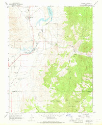
1966 · Junction
USGS Topo · 1:24,000