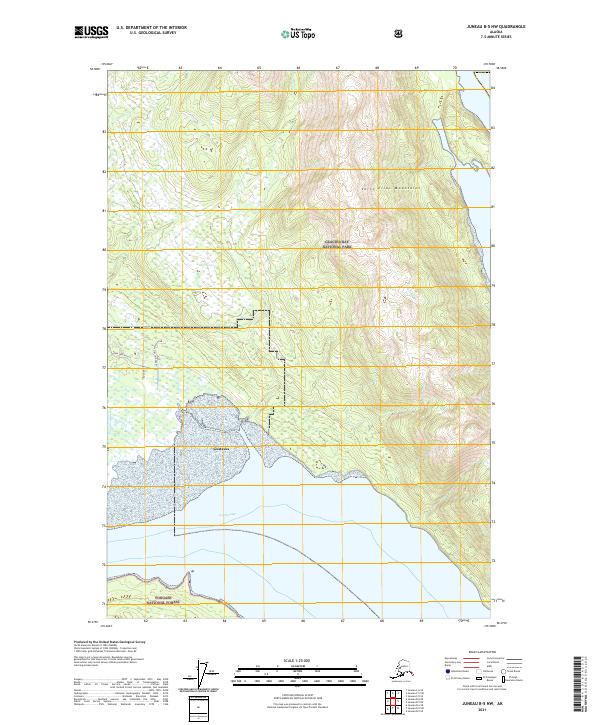
2021 Map of Juneau B-5 NW
USGS Topo · Published 2021About this map
Gustavus serves as the focal point of this coastal landscape, situated on the northern shore of Icy Passage. The settlement is defined by its proximity to significant conservation lands, with the northern reaches of the map transitioning into the Glacier Bay National Park and the southern shoreline protected within the Tongass National Forest. The transition from the alluvial flats near the coast to the high peaks of the Saint Elias Mountains is clearly visible through dense contouring in the eastern half of the quadrangle.
Find a feature on this map
12 named features on this map. Tap any name to fly to it.
Don’t see what you’re looking for? This feature index may not catch every label — zoom into the map to look around manually.
Map Details
Editions of this 2021 Juneau B-5 NW Map
This is the sole edition of this map. No revisions or reprints were ever made.
Other maps of this area

1948 · Juneau C-5
USGS Topo · 1:63,360

1948 · Juneau B-6
USGS Topo · 1:63,360

1948 · Juneau C-6
USGS Topo · 1:63,360

1948 · Juneau B-5
USGS Topo · 1:63,360

1950 · Juneau C-6
USGS Topo · 1:63,360

1950 · Juneau B-5
USGS Topo · 1:63,360

1951 · Juneau
USGS Topo · 1:250,000

1962 · Juneau
USGS Topo · 1:250,000
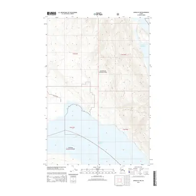
2015 · Juneau B-5 NW
USGS Topo · 1:25,000
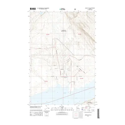
2015 · Juneau B-6 NE
USGS Topo · 1:25,000