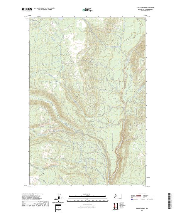
2023 Map of Jungle Butte
USGS Topo · Published 2023About this map
Jungle Butte and the surrounding Yakama County highlands are defined by a network of Bureau of Indian Affairs (BIA) access roads and water management features. The landscape is carved by the Klickitat River and numerous tributaries, including Swamp Creek and Cunningham Creek. A notable piece of local infrastructure is the Hellroaring Ditch, which follows the contours of the terrain above Hellroaring Creek. High points and lookout potential are found at Miller Point, situated along the elevation of Pinegrass Ridge. This 2023 survey illustrates a modern view of the managed forest lands, where BIA routes like Bia RD 271 and Bia RD 255 provide the primary framework for movement through the ridges and valleys of the eastern Cascades.
Find a feature on this map
30 named features on this map. Tap any name to fly to it.
Don’t see what you’re looking for? This feature index may not catch every label — zoom into the map to look around manually.
Map Details
Editions of this 2023 Jungle Butte Map
This is the sole edition of this map. No revisions or reprints were ever made.
Other maps of this area

1904 · Mount Adams
USGS Topo · 1:125,000

1907 · Mount Adams
USGS Topo · 1:125,000

1950 · Yakima
USGS Topo · 1:250,000

1958 · Yakima
USGS Topo · 1:250,000

1961 · Yakima
USGS Topo · 1:250,000
1969 · Castile Falls
USGS Topo · 1:24,000
1970 · Outlet Falls
USGS Topo · 1:24,000
1970 · Glenwood
USGS Topo · 1:24,000
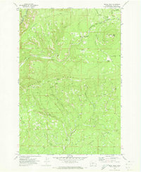
1970 · Signal Peak
USGS Topo · 1:24,000
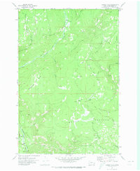
1970 · Castile Falls
USGS Topo · 1:24,000