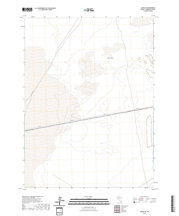
2021 Map of Jungo NE
USGS Topo · Published 2021About this map
Desert Valley dominates this section of the Great Basin in Humboldt County, where the landscape is defined by the stark expanse of an arid interior basin. The map reveals a land divided by the Public Land Survey System, with township and range lines like t36n r33e and t35n r32.5e marking the vast, open parcels characteristic of northern Nevada. Human presence is sparse, confined primarily to essential transit corridors that cut through the desert floor. Jungo Rd serves as the primary east-west artery through the valley, providing a critical link in an area where roads are often the only navigational landmarks. In the western reaches of the sheet, Bottle Creek Rd branches off toward the north, illustrating the minimal but vital infrastructure required to navigate this remote terrain. This survey is particularly useful for understanding the modern jurisdictional boundaries and road networks that still dictate movement through this part of the Nevada desert.
Find a feature on this map
9 named features on this map. Tap any name to fly to it.
Don’t see what you’re looking for? This feature index may not catch every label — zoom into the map to look around manually.
Map Details
Editions of this 2021 Jungo NE Map
This is the sole edition of this map. No revisions or reprints were ever made.
Other maps of this area

1886 · Disaster
USGS Topo · 1:250,000

1893 · Disaster
USGS Topo · 1:250,000

1931 · Lovelock
USGS Topo · 1:250,000

1935 · Lovelock
USGS Topo · 1:250,000

1939 · Eugene Mountains Area
USGS Topo · 1:62,500

1942 · Eugene Mountains Area
USGS Topo · 1:62,500

1954 · Vya
USGS Topo · 1:250,000

1955 · Lovelock
USGS Topo · 1:250,000

1958 · Vya
USGS Topo · 1:250,000

1959 · Lovelock
USGS Topo · 1:250,000