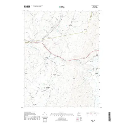
2019 Map of Junior
USGS Topo · Published 2019About this map
The Tygart Valley River carves through the heart of the Tygart Valley, anchoring a landscape defined by its industrial and coal-mining heritage along the Barbour and Randolph County line. In this 2019 survey, the dual-named settlement of Womelsdorf (Coalton) stands as a primary point of interest for genealogists, alongside nearby Coalton and Mabie. These communities are connected by a network of winding roads like the Junior-Weaver and Skidmore Run Rd, which navigate the steep rises of Rich Mtn and Laurel Mtn.
Find a feature on this map
93 named features on this map. Tap any name to fly to it.
Don’t see what you’re looking for? This feature index may not catch every label — zoom into the map to look around manually.
Map Details
Editions of this 2019 Junior Map
This is the sole edition of this map. No revisions or reprints were ever made.
Other maps of this area

1886 · St. George
USGS Topo · 1:125,000

1889 · Beverly
USGS Topo · 1:125,000

1891 · St. George
USGS Topo · 1:125,000

1892 · Beverly
USGS Topo · 1:125,000

1893 · Buckhannon
USGS Topo · 1:125,000

1896 · Buckhannon
USGS Topo · 1:125,000

1897 · Buckhannon
USGS Topo · 1:125,000

1904 · Philippi
USGS Topo · 1:62,500

1907 · Belington
USGS Topo · 1:62,500

1909 · Elkins
USGS Topo · 1:62,500