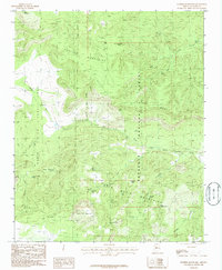
1986 Map of Juniper Mountains
USGS Topo · Published 1986About this map
Prescott National Forest encompasses the majority of this high-desert terrain, where the northern Santa Maria Mountains meet the southern edge of the Juniper Mountains. The landscape is defined by massive land grants and water management, evidenced by the large Luis Maria Baca Float No 5 boundary and a network of livestock tanks such as Pot Hole Tank and Bear Mountain Tank. These features suggest a historical reliance on cattle ranching in an arid environment. Steep topography rises from Long Canyon up to the expansive Juniper Mesa, punctuated by isolated summits like Gobbler Knob and Table Top Mountain. Notable water sources, vital for backcountry survival and industry, are scattered throughout the drainages, including Lee Spring, Mud Spring, and the perennial course of Walnut Creek.
Find a feature on this map
36 named features on this map. Tap any name to fly to it.
Don’t see what you’re looking for? This feature index may not catch every label — zoom into the map to look around manually.
Map Details
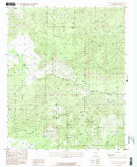
Editions of this 1986 Juniper Mountains Map
2 editions found
Other maps of this area

1886 · Diamond Creek
USGS Topo · 1:250,000

1886 · Chino
USGS Topo · 1:250,000

1887 · Prescott
USGS Topo · 1:250,000

1891 · Chino
USGS Topo · 1:250,000

1892 · Diamond Creek
USGS Topo · 1:250,000

1892 · Prescott
USGS Topo · 1:250,000

1923 · Signal
USGS Topo · 1:250,000

1942 · Signal
USGS Topo · 1:250,000

1947 · Turkey Canyon
USGS Topo · 1:62,500

1947 · Camp Wood
USGS Topo · 1:62,500