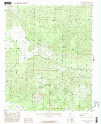
1986 Map of Juniper Mountains
USGS Topo · Published 1986About this map
The Prescott National Forest dominates this landscape in the mid-1980s, where high mesas and canyons define the central Arizona highlands. The map highlights the significant land division of the Luis Maria Baca Float No 5, a historic Spanish land grant boundary that cuts across the western terrain. This area is a complex network of seasonal drainages and essential water sources, including Walnut Creek and Apache Creek, which sustain the cattle ranching and wildlife in the shadows of the Juniper Mountains.
Find a feature on this map
33 named features on this map. Tap any name to fly to it.
Don’t see what you’re looking for? This feature index may not catch every label — zoom into the map to look around manually.
Map Details
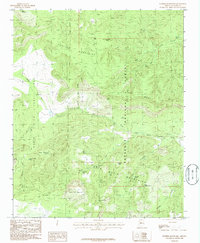
Editions of this 1986 Juniper Mountains Map
2 editions found
Other maps of this area

1886 · Diamond Creek
USGS Topo · 1:250,000

1886 · Chino
USGS Topo · 1:250,000

1887 · Prescott
USGS Topo · 1:250,000

1891 · Chino
USGS Topo · 1:250,000

1892 · Diamond Creek
USGS Topo · 1:250,000

1892 · Prescott
USGS Topo · 1:250,000

1923 · Signal
USGS Topo · 1:250,000

1942 · Signal
USGS Topo · 1:250,000

1947 · Turkey Canyon
USGS Topo · 1:62,500

1947 · Camp Wood
USGS Topo · 1:62,500