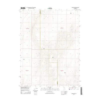
2014 Map of Juniper Peak
USGS Topo · Published 2014About this map
Juniper Peak stands as the central landmark of this high-desert terrain, where the northern reaches of the Truckee Range dominate the topography. This 2014 survey captures a sparsely populated landscape defined by dramatic elevation changes and named drainages like Tolbert Canyon. The boundary between Washoe County and Churchill County bisects the area, highlighting the jurisdictional divisions that persist in these expansive western lands. The presence of Little Valley and North Valley indicates the essential corridors through which water and movement would flow in this arid environment. For the historian or researcher, this map provides the precise Public Land Survey System coordinates, including t23n r25e and t22n r24e, necessary for locating specific land patents and mining claims in this corner of Nevada.
Find a feature on this map
10 named features on this map. Tap any name to fly to it.
Don’t see what you’re looking for? This feature index may not catch every label — zoom into the map to look around manually.
Map Details
Editions of this 2014 Juniper Peak Map
This is the sole edition of this map. No revisions or reprints were ever made.
Other maps of this area

1890 · Wadsworth
USGS Topo · 1:125,000

1892 · Wadsworth
USGS Topo · 1:125,000

1894 · Wadsworth
USGS Topo · 1:125,000

1957 · Fireball Ridge
USGS Topo · 1:62,500

1957 · Two Tips
USGS Topo · 1:62,500

1957 · Wadsworth
USGS Topo · 1:62,500

1957 · Nixon
USGS Topo · 1:62,500

1957 · Reno
USGS Topo · 1:250,000

1959 · Reno
USGS Topo · 1:250,000

1960 · Reno
USGS Topo · 1:250,000