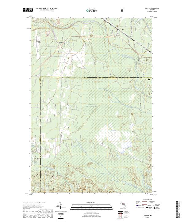
2023 Map of Juniper
USGS Topo · Published 2023About this map
The Hiawatha National Forest dominates this landscape on the border of Alger and Schoolcraft counties. A network of recreational corridors defines contemporary movement through the timberlands, including the Haywire Grade Atv Trl and the Miners Castle Snowmo Trl. Small nodes of activity persist at Juniper, Evelyn, and Doty, while the northern reaches of the sheet are defined by the basin of Wetmore Lake.
Find a feature on this map
24 named features on this map. Tap any name to fly to it.
Don’t see what you’re looking for? This feature index may not catch every label — zoom into the map to look around manually.
Map Details
Editions of this 2023 Juniper Map
This is the sole edition of this map. No revisions or reprints were ever made.
Other maps of this area

1931 · Shingleton SW
USGS Topo · 1:31,680

1931 · Steuben NW
USGS Topo · 1:31,680

1931 · Skeels Lake NE
USGS Topo · 1:31,680

1931 · Munising SE
USGS Topo · 1:31,680

1958 · Corner Lake
USGS Topo · 1:62,500

1958 · Munising
USGS Topo · 1:62,500

1958 · Shingleton
USGS Topo · 1:62,500
1958 · Steuben
USGS Topo · 1:62,500

1958 · Marquette
USGS Topo · 1:250,000

1960 · Marquette
USGS Topo · 1:250,000