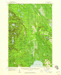
1958 Map of Steuben
USGS Topo · Published 1959About this map
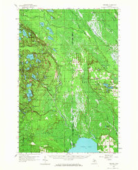
The Manistique River Slough and a dense network of glacial lakes dominate this mid-century look at the Upper Peninsula. Centered on the Hiawatha National Forest, the landscape is defined by its hydrology and conservation boundaries, featuring the western edge of the Seney National Wildlife Refuge and the northern shores of Indian Lake at Palms Book State Park. The small settlement of Steuben sits at a nexus of forest roads and lakes, while the Steuben Lookout Tower provides a vertical landmark for fire observation in this heavily timbered region.
Find a feature on this map
87 named features on this map. Tap any name to fly to it.
Don’t see what you’re looking for? This feature index may not catch every label — zoom into the map to look around manually.
Map Details
Editions of this 1958 Steuben Map
2 editions found
Other maps of this area

1931 · Cooks NE
USGS Topo · 1:31,680

1931 · Steuben SE
USGS Topo · 1:31,680

1931 · Steuben SW
USGS Topo · 1:31,680

1931 · Steuben NE
USGS Topo · 1:31,680

1931 · Cooks NW
USGS Topo · 1:31,680

1931 · Shingleton SW
USGS Topo · 1:31,680

1931 · Steuben NW
USGS Topo · 1:31,680

1931 · Manistique River NW
USGS Topo · 1:31,680

1931 · Skeels Lake NE
USGS Topo · 1:31,680

1931 · Shingleton SE
USGS Topo · 1:31,680