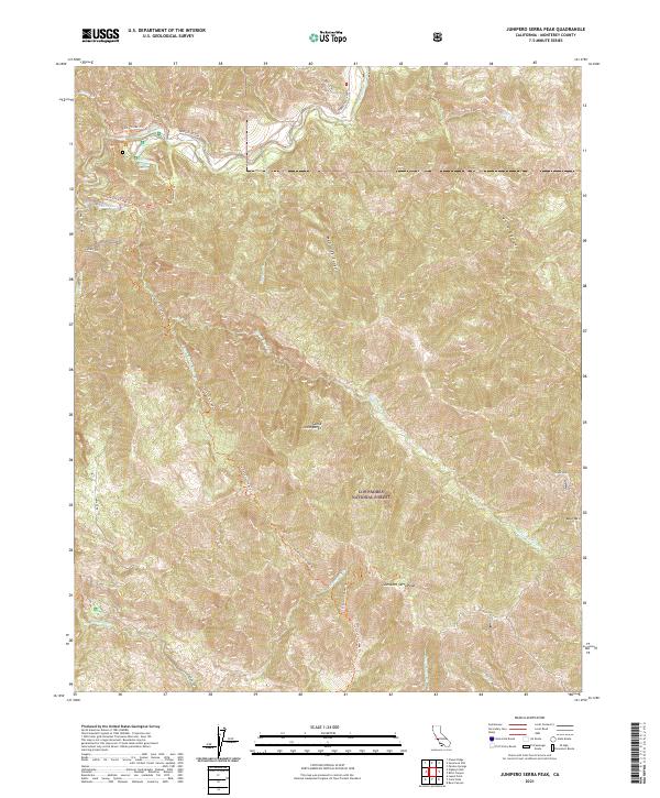
2021 Map of Junipero Serra Peak
USGS Topo · Published 2021About this map
Junipero Serra Peak stands as the dominant summit in this portion of the Santa Lucia Range, overlooking the high backcountry of the Los Padres National Forest. The landscape is defined by its dramatic verticality, where the headwaters of Santa Lucia Creek and Pinal Cr carve deep drainages through the coastal mountains. The transition from the lower Arroyo Seco valley to these high ridgelines is marked by a network of footpaths, including the Santa Lucia Creek Trl and Lost Valley Trl, which follow the natural contours of the terrain. Near the north edge of the map, Abbott Lakes provides a rare point of standing water in this drainage-heavy topography. The map illustrates a wilderness mostly devoid of modern road infrastructure, save for the Arroyo Seco Rd corridor, preserving a view of Monterey County's interior as it remained into the early twenty-first century.
Find a feature on this map
22 named features on this map. Tap any name to fly to it.
Don’t see what you’re looking for? This feature index may not catch every label — zoom into the map to look around manually.
Map Details
Editions of this 2021 Junipero Serra Peak Map
This is the sole edition of this map. No revisions or reprints were ever made.
Other maps of this area

1915 · Soledad
USGS Topo · 1:62,500

1919 · Junipero Serra
USGS Topo · 1:62,500

1920 · Jamesburg
USGS Topo · 1:48,000

1921 · Jamesburg
USGS Topo · 1:62,500

1921 · Lucia
USGS Topo · 1:62,500

1939 · Jamesburg
USGS Topo · 1:62,500

1940 · Jamesburg
USGS Topo · 1:62,500

1940 · Soledad
USGS Topo · 1:62,500

1941 · Lucia
USGS Topo · 1:62,500

1941 · Junipero Serra
USGS Topo · 1:62,500