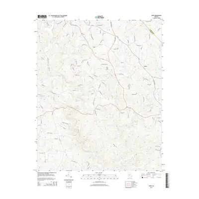
2014 Map of Juno
USGS Topo · Published 2014About this map
The community of Juno and the smaller settlement of McKee define the human geography of this North Georgia landscape, where the Lumpkin Co Dawson Co border meets at the northeast corner. This 2014 survey documents a region defined by a intricate network of waterways, most notably the meandering Amicalola Creek and several significant tributaries including Cochrans Cr and Holly Cr. The presence of Elliott Field Airport near the center of the map highlights the area's modern infrastructure amid the traditional rural road network of Ga-183 and Ga-136.
Find a feature on this map
97 named features on this map. Tap any name to fly to it.
Don’t see what you’re looking for? This feature index may not catch every label — zoom into the map to look around manually.
Map Details
Editions of this 2014 Juno Map
This is the sole edition of this map. No revisions or reprints were ever made.
Other maps of this area

1888 · Ellijay
USGS Topo · 1:125,000

1890 · Suwanee
USGS Topo · 1:125,000

1892 · Ellijay
USGS Topo · 1:125,000

1894 · Suwanee
USGS Topo · 1:125,000

1898 · Ellijay
USGS Topo · 1:125,000

1911 · Ellijay
USGS Topo · 1:125,000

1926 · Tate
USGS Topo · 1:62,500

1928 · Tate
USGS Topo · 1:62,500
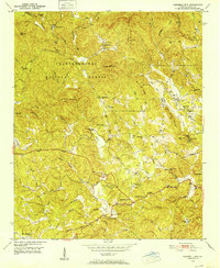
1950 · Campbell Mtn
USGS Topo · 1:24,000

1955 · Rome
USGS Topo · 1:250,000