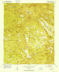
1950 Map of Campbell Mtn
USGS Topo · Published 1952About this map
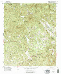
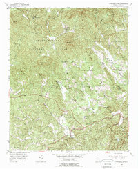
The Etowah River carves a winding path through this corner of the Chattahoochee National Forest, defining a landscape of isolated ridges and tight-knit mountain communities. Just west of Dahlonega, the map records a rural economy rooted in land and legacy, featuring the North Georgia College Farm and the historic Buckhorn Tavern. While much of the terrain is defined by peaks like Campbell Mountain and Whissenhunt Mtn, the valleys are dotted with the essential infrastructure of mid-century life, from the Oak Grove Sch to numerous houses of worship including Cane Creek Ch and Pleasant Hill Ch.
Find a feature on this map
68 named features on this map. Tap any name to fly to it.
Don’t see what you’re looking for? This feature index may not catch every label — zoom into the map to look around manually.
Map Details
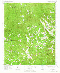
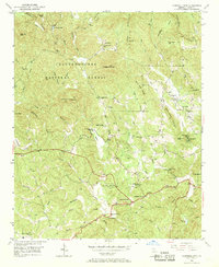
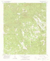
Editions of this 1950 Campbell Mtn Map
6 editions found
Other maps of this area

1886 · Dahlonega
USGS Topo · 1:125,000

1888 · Ellijay
USGS Topo · 1:125,000

1890 · Suwanee
USGS Topo · 1:125,000

1891 · Gainesville
USGS Topo · 1:125,000

1892 · Dahlonega
USGS Topo · 1:125,000

1892 · Ellijay
USGS Topo · 1:125,000

1894 · Suwanee
USGS Topo · 1:125,000

1896 · Dahlonega
USGS Topo · 1:125,000

1898 · Ellijay
USGS Topo · 1:125,000

1903 · Dahlonega
USGS Topo · 1:125,000