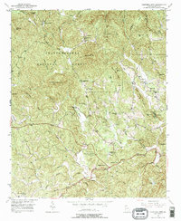
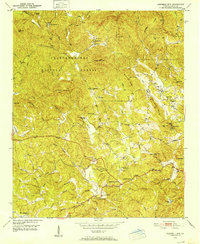
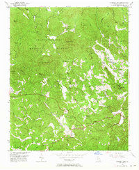
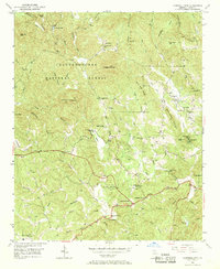
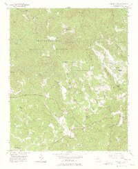
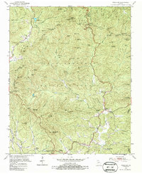
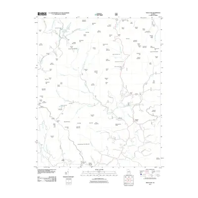
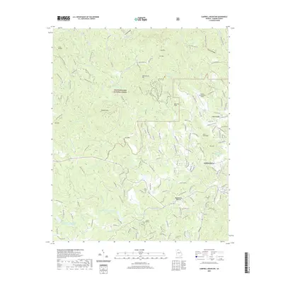
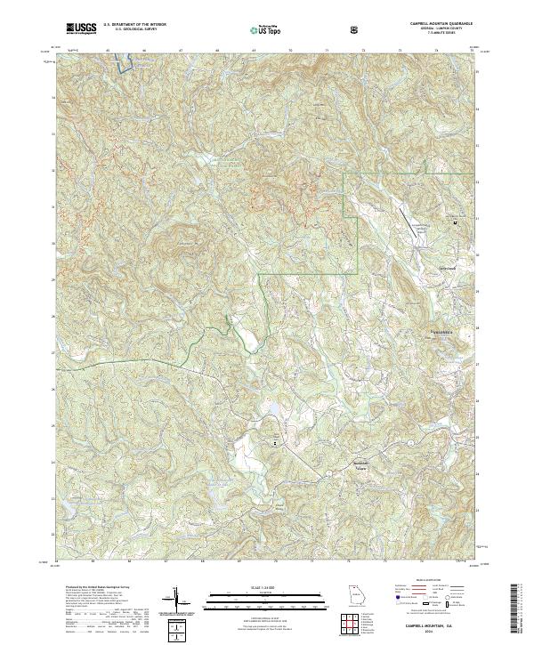
1950 Map of Campbell Mtn
USGS Topo · Published 1977About this map
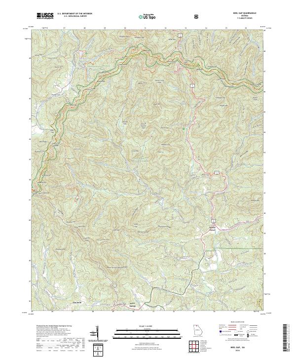
Chattahoochee National Forest blankets this corner of Lumpkin County, where the upper reaches of the Etowah River carve through a landscape defined by ridges such as Sally Free Ridge and Horseshoe Ridge. The mapping from 1950 reveals a network of rural roads connecting scattered communities and institutional sites, including the North Georgia College Farm and Buckhorn Tavern. Local life is anchored by traditional landmarks like Davis Chapel Cem & Ch and Silome Ch & Cem, while educational history is preserved through the locations of Oak Grove Sch and Haywood Sch.
Find a feature on this map
60 named features on this map. Tap any name to fly to it.
Don’t see what you’re looking for? This feature index may not catch every label — zoom into the map to look around manually.
Map Details
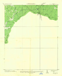
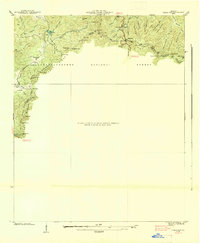
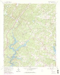
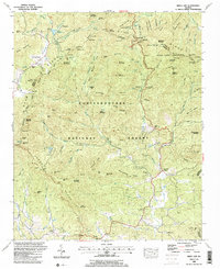
Editions of this 1950 Campbell Mtn Map
6 editions found
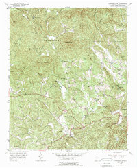
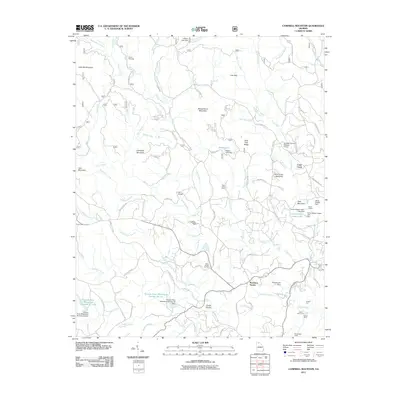
Historical Maps of Dahlonega Through Time
21 maps found
1935 Neels Gap
Lumpkin County, GA
1938 Neels Gap
Lumpkin County, GA
1950 Campbell Mtn
Lumpkin County, GA
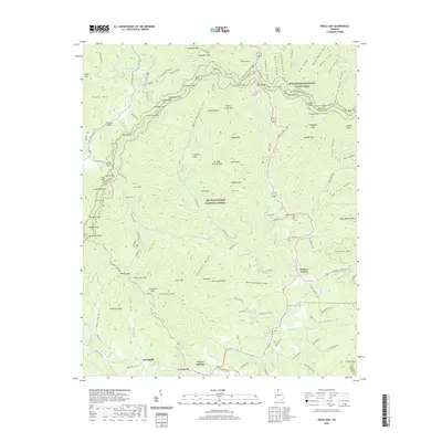
1950 Neels Gap
Lumpkin County, GA
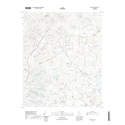
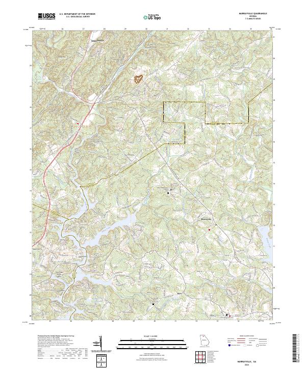
1964 Murrayville
Lumpkin County, GA
1988 Neels Gap
Lumpkin County, GA
2011 Campbell Mountain
Lumpkin County, GA

2011 Murrayville
Lumpkin County, GA
2011 Neel Gap
Lumpkin County, GA
2014 Campbell Mountain
Lumpkin County, GA
2014 Murrayville
Lumpkin County, GA
2014 Neel Gap
Lumpkin County, GA
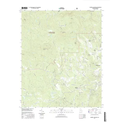
2017 Campbell Mountain
Lumpkin County, GA
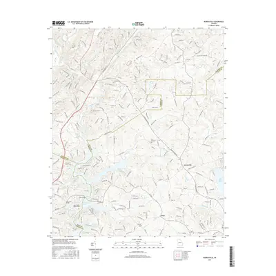
2017 Murrayville
Lumpkin County, GA
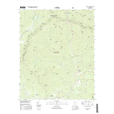
2017 Neel Gap
Lumpkin County, GA
2020 Campbell Mountain
Lumpkin County, GA
2020 Murrayville
Lumpkin County, GA
2020 Neel Gap
Lumpkin County, GA
2024 Campbell Mountain
Lumpkin County, GA
2024 Murrayville
Lumpkin County, GA
2024 Neel Gap
Lumpkin County, GA