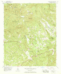
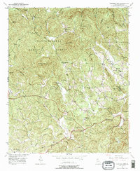
1950 Map of Campbell Mtn
USGS Topo · Published 1970About this map
Buckhorn Tavern stands at a central crossroads north of Dahlonega, anchoring a landscape where the Etowah River and its numerous tributaries like Nimblewill Creek and Hurricane Creek carve through the Chattahoochee National Forest. This mid-century survey reveals a rural society built around local gathering points and educational outposts, from North Georgia College Farm to schools such as Hilltop and Hightower. The mapping of the Barlow Mine reflects the region's earlier industrial era, while the presence of Camp Wahsega and Camp Glisson highlights the area's transition into a center for recreation and institutional camps. Navigation through the ridges, including John Jones Mountain and Sally Free Ridge, is facilitated by historic crossings like Jay Bridge and the natural river passage at Chuck Shoals, providing a detailed view of the infrastructure and land use in northern Lumpkin County during the 1950s.
Find a feature on this map
64 named features on this map. Tap any name to fly to it.
Don’t see what you’re looking for? This feature index may not catch every label — zoom into the map to look around manually.
Map Details
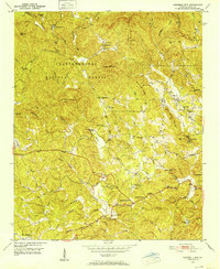
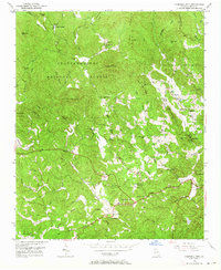
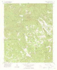
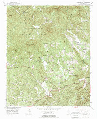
Editions of this 1950 Campbell Mtn Map
6 editions found
Other maps of this area

1886 · Dahlonega
USGS Topo · 1:125,000

1888 · Ellijay
USGS Topo · 1:125,000

1890 · Suwanee
USGS Topo · 1:125,000

1891 · Gainesville
USGS Topo · 1:125,000

1892 · Dahlonega
USGS Topo · 1:125,000

1892 · Ellijay
USGS Topo · 1:125,000

1894 · Suwanee
USGS Topo · 1:125,000

1896 · Dahlonega
USGS Topo · 1:125,000

1898 · Ellijay
USGS Topo · 1:125,000

1903 · Dahlonega
USGS Topo · 1:125,000