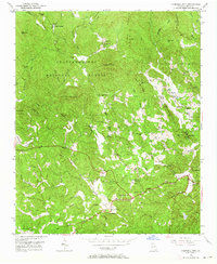
1950 Map of Campbell Mtn
USGS Topo · Published 1964About this map
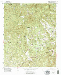
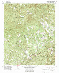
The Etowah River carves through this northern Georgia landscape, serving as a primary drainage for numerous mountain branches and creeks. In the mid-twentieth century, this region was characterized by small rural settlements and institutional landmarks like Camp Wahsega and the North Georgia College Farm. The presence of the Barlow Mine (Inactive) points to the area's history of mineral extraction, while a network of country churches and schools, such as Davis Chapel Cem and Oak Grove Sch, indicates the distributed nature of the local community.
Find a feature on this map
62 named features on this map. Tap any name to fly to it.
Don’t see what you’re looking for? This feature index may not catch every label — zoom into the map to look around manually.
Map Details
Editions of this 1950 Campbell Mtn Map
6 editions found
Other maps of this area

1886 · Dahlonega
USGS Topo · 1:125,000

1888 · Ellijay
USGS Topo · 1:125,000

1890 · Suwanee
USGS Topo · 1:125,000

1891 · Gainesville
USGS Topo · 1:125,000

1892 · Dahlonega
USGS Topo · 1:125,000

1892 · Ellijay
USGS Topo · 1:125,000

1894 · Suwanee
USGS Topo · 1:125,000

1896 · Dahlonega
USGS Topo · 1:125,000

1898 · Ellijay
USGS Topo · 1:125,000

1903 · Dahlonega
USGS Topo · 1:125,000