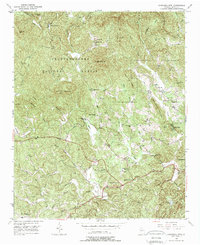
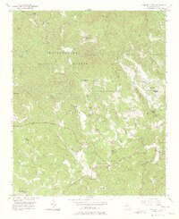
1950 Map of Campbell Mtn
USGS Topo · Published 1977About this map
Buckhorn Tavern and the North Georgia College Farm sit at the southern edge of this mid-century survey, where the Etowah River carves through the lower portion of the Chattahoochee National Forest. The landscape is a network of ridges and watercourses, from the steep slopes of Whissenhunt Mtn to the Cane Creek Falls near Camp Glisson. Local life in the 1950s is marked by a series of rural institutions, including the Oak Grove Sch, Siloam Ch, and Davis Chapel Cem. Industrial history remains visible at the Barlow Mine (Abandoned) south of Dahlonega, signaling the region's mining heritage. The map also captures specialized sites like Camp Wahsega and a small Landing Field, illustrating how the area supported both forestry and early aviation as Dahlonega expanded toward its western outskirts.
Find a feature on this map
53 named features on this map. Tap any name to fly to it.
Don’t see what you’re looking for? This feature index may not catch every label — zoom into the map to look around manually.
Map Details
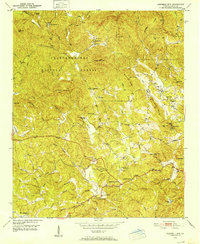
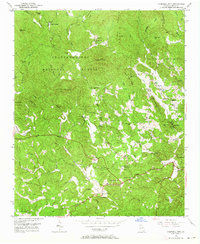
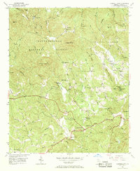
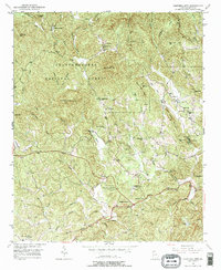
Editions of this 1950 Campbell Mtn Map
6 editions found
Other maps of this area

1886 · Dahlonega
USGS Topo · 1:125,000

1888 · Ellijay
USGS Topo · 1:125,000

1890 · Suwanee
USGS Topo · 1:125,000

1891 · Gainesville
USGS Topo · 1:125,000

1892 · Dahlonega
USGS Topo · 1:125,000

1892 · Ellijay
USGS Topo · 1:125,000

1894 · Suwanee
USGS Topo · 1:125,000

1896 · Dahlonega
USGS Topo · 1:125,000

1898 · Ellijay
USGS Topo · 1:125,000

1903 · Dahlonega
USGS Topo · 1:125,000