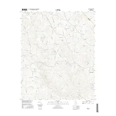
2017 Map of Juno
USGS Topo · Published 2017About this map
Amicalola Creek and its many tributaries, including Cochrans Cr and Sweetwater Cr, carve through this section of the North Georgia mountains. The landscape is defined by prominent elevations such as Amicalola Ridge and Timber Wolf Ridge, which hem in the small settlements of Juno and McKee. In the southeast, the outskirts of Dawsonville begin to emerge, marking a transition from the dense drainage networks of the highlands to more concentrated residential patterns. Numerous small bodies of water, such as Overstreet Lake, Burt Lake, and Sunset Hills Lake, are scattered across the terrain. For those interested in local aviation or geography, Elliott Field stands out as a distinct landmark among the winding mountain roads and creek beds that define this portion of the county.
Find a feature on this map
104 named features on this map. Tap any name to fly to it.
Don’t see what you’re looking for? This feature index may not catch every label — zoom into the map to look around manually.
Map Details
Editions of this 2017 Juno Map
This is the sole edition of this map. No revisions or reprints were ever made.
Other maps of this area

1888 · Ellijay
USGS Topo · 1:125,000

1890 · Suwanee
USGS Topo · 1:125,000

1892 · Ellijay
USGS Topo · 1:125,000

1894 · Suwanee
USGS Topo · 1:125,000

1898 · Ellijay
USGS Topo · 1:125,000

1911 · Ellijay
USGS Topo · 1:125,000

1926 · Tate
USGS Topo · 1:62,500

1928 · Tate
USGS Topo · 1:62,500
1950 · Campbell Mtn
USGS Topo · 1:24,000

1955 · Rome
USGS Topo · 1:250,000