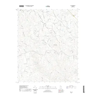
2020 Map of Juno
USGS Topo · Published 2020About this map
Dawsonville serves as a focal point for this North Georgia landscape, where the foothills transition into the high terrain of Amicalola Ridge. The map reveals a settlement pattern dictated by the winding path of Amicalola Creek and its many tributaries, including Cochrans Cr and Sweetwater Cr. Small crossroads and communities like Juno and Afton are connected by a dense network of family-named roads such as Chastain Mill Rd, Odum Chumbley Rd, and Elliott Family Pkwy, indicating a landscape deeply rooted in local lineage and historical land use.
Find a feature on this map
115 named features on this map. Tap any name to fly to it.
Don’t see what you’re looking for? This feature index may not catch every label — zoom into the map to look around manually.
Map Details
Editions of this 2020 Juno Map
This is the sole edition of this map. No revisions or reprints were ever made.
Other maps of this area

1888 · Ellijay
USGS Topo · 1:125,000

1890 · Suwanee
USGS Topo · 1:125,000

1892 · Ellijay
USGS Topo · 1:125,000

1894 · Suwanee
USGS Topo · 1:125,000

1898 · Ellijay
USGS Topo · 1:125,000

1911 · Ellijay
USGS Topo · 1:125,000

1926 · Tate
USGS Topo · 1:62,500

1928 · Tate
USGS Topo · 1:62,500
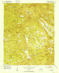
1950 · Campbell Mtn
USGS Topo · 1:24,000

1955 · Rome
USGS Topo · 1:250,000