2024 Map of Juno
USGS Topo · Published 2024About this map
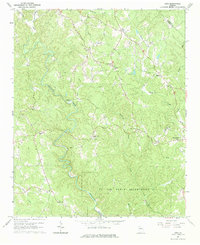
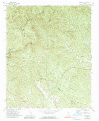
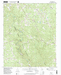
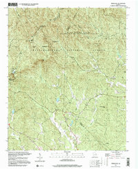
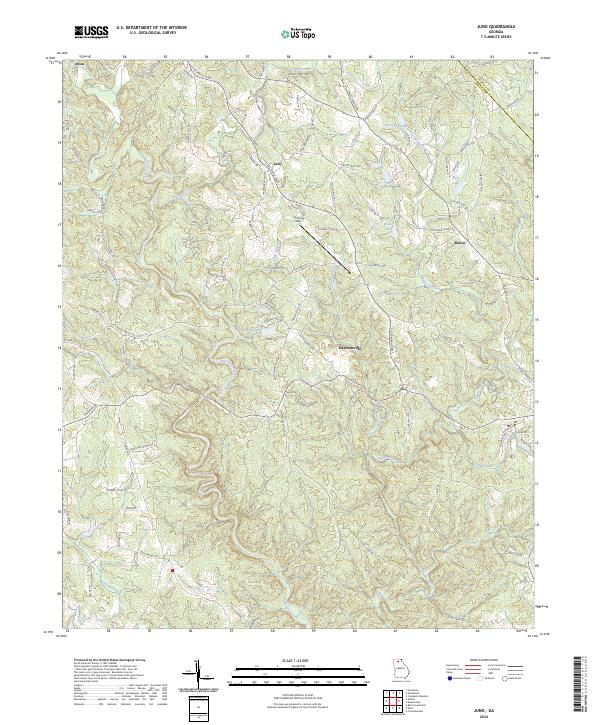
Amicalola Creek winds through the heart of this North Georgia terrain, defining a landscape of high ridges and narrow creek valleys north of Dawsonville. The area shows a transition from the denser settlement of the county seat toward the high ground of Amicalola Ridge and Wolf Ridge. Small rural communities such as Juno, Afton, and McKee serve as anchors for a network of family-named roads, including Chastain Mill Rd and Waters Farm Rd, reflecting the long-standing agricultural and timber roots of the region.
Find a feature on this map
114 named features on this map. Tap any name to fly to it.
Don’t see what you’re looking for? This feature index may not catch every label — zoom into the map to look around manually.
Map Details
Editions of this 2024 Juno Map
This is the sole edition of this map. No revisions or reprints were ever made.
Historical Maps of Juno Through Time
6 maps found