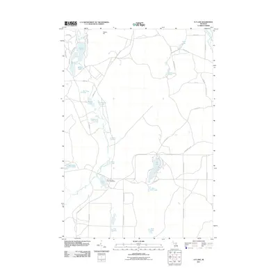
2011 Map of K P Lake
USGS Topo · Published 2011About this map
The East Branch Au Sable River and North Branch Au Sable River define the hydrography of this northern Michigan landscape, where glacial kettles and depressions have formed a dense concentration of water bodies. The central forest land is anchored by the Jones Lake State Forest Campground, adjacent to Jones Lake and River Lake. The terrain is characterized by modest elevations like Redner Hill, which rises north of the cluster containing Guthrie Lake, Section One Lake, and Marsh Lake. A network of specialized trails and forest roads, such as K P Truck Trl and Lonesome Lake Trl, suggests a region managed for timber and recreation. Smaller, more isolated waters like Bull Frog Lake, Timber Lake, and Lonesome Lake are scattered throughout the interior, connected by primitive routes like Akron Club Trl.
Find a feature on this map
52 named features on this map. Tap any name to fly to it.
Don’t see what you’re looking for? This feature index may not catch every label — zoom into the map to look around manually.
Map Details
Editions of this 2011 K P Lake Map
This is the sole edition of this map. No revisions or reprints were ever made.
Other maps of this area

1949 · Lewiston
USGS Topo · 1:62,500

1949 · Otsego Lake
USGS Topo · 1:62,500

1949 · Grayling
USGS Topo · 1:62,500

1950 · Grayling
USGS Topo · 1:24,000

1950 · Johannesburg
USGS Topo · 1:24,000

1950 · Lovells
USGS Topo · 1:24,000

1950 · Turtle Lake
USGS Topo · 1:24,000

1951 · K P Lake
USGS Topo · 1:24,000

1951 · Big Bradford Lake
USGS Topo · 1:24,000

1951 · Lovells
USGS Topo · 1:24,000
Featured Places
- Chester Township, MI
- Maple Forest Township, MI
- Lovells Township, MI
- Grayling Charter Township, MI
- Otsego Lake Township, MI