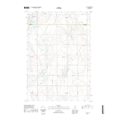
2019 Map of K P Lake
USGS Topo · Published 2019About this map
The E Br Au Sable River winds through this glacial landscape on the border of Otsego and Crawford counties, defining a region dense with kettle lakes and wetlands. This 2019 survey documents a landscape structured by timber-harvesting history and recreational use, with a network of secondary routes like W Co Rd 612 and primitive tracks such as K P Truck Trl providing access to the interior. High points like Redner Hill overlook a concentration of water bodies including Guthrie Lake and KP Lake. The map reveals a transition from the structured residential clusters near Guthrie Lake to the more secluded waters of Lonesome Lake and Little K P Lake. This detailed cartography is essential for tracing modern property boundaries and access points within these northern Michigan forests.
Find a feature on this map
53 named features on this map. Tap any name to fly to it.
Don’t see what you’re looking for? This feature index may not catch every label — zoom into the map to look around manually.
Map Details
Editions of this 2019 K P Lake Map
This is the sole edition of this map. No revisions or reprints were ever made.
Other maps of this area

1949 · Lewiston
USGS Topo · 1:62,500

1949 · Otsego Lake
USGS Topo · 1:62,500

1949 · Grayling
USGS Topo · 1:62,500

1950 · Grayling
USGS Topo · 1:24,000

1950 · Johannesburg
USGS Topo · 1:24,000

1950 · Lovells
USGS Topo · 1:24,000

1950 · Turtle Lake
USGS Topo · 1:24,000

1951 · K P Lake
USGS Topo · 1:24,000

1951 · Big Bradford Lake
USGS Topo · 1:24,000

1951 · Lovells
USGS Topo · 1:24,000
Featured Places
- Chester Township, MI
- Maple Forest Township, MI
- Lovells Township, MI
- Grayling Charter Township, MI
- Otsego Lake Township, MI