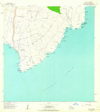
1962 Map of Ka Lae
USGS Topo · Published 1964About this map
Ka Lae, the southernmost point of the Hawaiian Islands, anchors this coastal survey of the Kau District. The landscape is defined by its volcanic heritage and ancient cultural sites, including the Heiau o Kalalea near the point and Heiau o Molilele further inland. Evidence of the mid-20th-century geopolitical era is visible in the Pacific Missile Range Facility and a Coast Guard Reservation, which includes a Light and an Astronomic Station.
Find a feature on this map
90 named features on this map. Tap any name to fly to it.
Don’t see what you’re looking for? This feature index may not catch every label — zoom into the map to look around manually.
Map Details
Editions of this 1962 Ka Lae Map
2 editions found
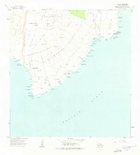
Other maps of this area

1924 · Kalae
USGS Topo · 1:62,500

1924 · Honuapo
USGS Topo · 1:62,500

1954 · Hawaii South
USGS Topo · 1:250,000

1959 · Hawaii South
USGS Topo · 1:250,000

1961 · Hawaii South
USGS Topo · 1:250,000

1962 · Hawaii South
USGS Topo · 1:250,000

1962 · Puu Hou
USGS Topo · 1:24,000

1962 · Kahuku Ranch
USGS Topo · 1:24,000
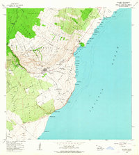
1962 · Naalehu
USGS Topo · 1:24,000

1975 · Hawaii
USGS Topo · 1:250,000