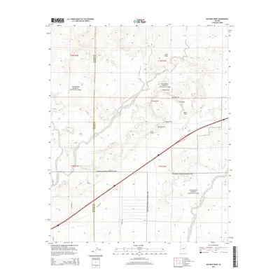
2014 Map of Kachina Point
USGS Topo · Published 2014About this map
Petrified Forest National Park dominates this desert landscape, revealing a network of overlooks and geological landmarks across the Navajo and Apache County line. The map highlights the significant path of Old Route 66, which cuts diagonally across the terrain alongside modern transit corridors. This area is defined by its dramatic topography, featuring a series of named high points such as Kachina Point, Tiponi Point, and Tawa Point that offer vantage points over the basin. The drainage of Lithodendron Wash meanders through the center of the survey, where the unique Onyx Bridge landmark is located. These features illustrate the intersection of early American automotive history with the preserved natural wonders of the Painted Desert. Local transit is further documented through named tracks like Adamana Rd and Wagon Rd, providing a record of the rural infrastructure supporting this protected wilderness.
Find a feature on this map
22 named features on this map. Tap any name to fly to it.
Don’t see what you’re looking for? This feature index may not catch every label — zoom into the map to look around manually.
Map Details
Editions of this 2014 Kachina Point Map
This is the sole edition of this map. No revisions or reprints were ever made.
Other maps of this area

1886 · St Johns
USGS Topo · 1:250,000

1886 · Fort Defiance
USGS Topo · 1:250,000

1892 · Fort Defiance
USGS Topo · 1:250,000

1892 · St Johns
USGS Topo · 1:250,000

1912 · Petrified Forest
USGS Topo · 1:62,500

1954 · Saint Johns
USGS Topo · 1:250,000

1954 · Gallup
USGS Topo · 1:250,000

1955 · Petrified Forest
USGS Topo · 1:62,500

1956 · Adamana 1 NW
USGS Topo · 1:24,000

1957 · Saint Johns
USGS Topo · 1:250,000