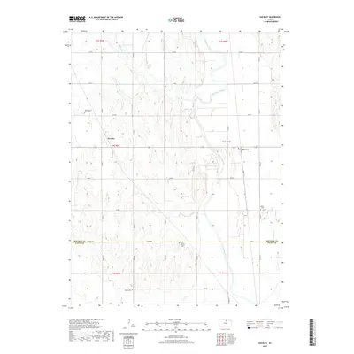
2018 Map of Kackley
USGS Topo · Published 2018About this map
The Republican River winds through this agricultural landscape on the border of Republic and Cloud Counties. The small community of Norway sits near the riverbanks, while the settlement of Kackley is positioned to the west in an area defined by the drainage systems of Beaver Cr and Skunk Cr. This territory is characterized by its rural heritage, anchored by several longstanding religious and burial sites that serve as primary landmarks for local history and genealogy. Notable sites include the Ada Lutheran Church Cem and the Danish Lutheran Cem, reflecting the ethnic and denominational patterns of the early settlers. A network of rural roads, such as Republic Rd and Wagon Rd, connects these scattered farmsteads and cemeteries like Oakdale Cem and Saron Baptist Cem, illustrating the enduring spatial organization of this Kansas prairie land.
Find a feature on this map
36 named features on this map. Tap any name to fly to it.
Don’t see what you’re looking for? This feature index may not catch every label — zoom into the map to look around manually.
Map Details
Editions of this 2018 Kackley Map
This is the sole edition of this map. No revisions or reprints were ever made.
Other maps of this area

1892 · Concordia
USGS Topo · 1:125,000

1955 · Manhattan
USGS Topo · 1:250,000

1956 · Manhattan
USGS Topo · 1:250,000

1957 · Manhattan
USGS Topo · 1:250,000

1965 · Concordia NW
USGS Topo · 1:24,000
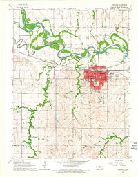
1965 · Concordia
USGS Topo · 1:24,000

1965 · Kackley
USGS Topo · 1:24,000

1966 · Scandia
USGS Topo · 1:24,000
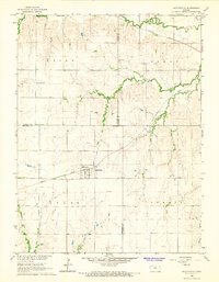
1966 · Scottsville
USGS Topo · 1:24,000
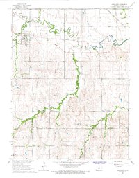
1966 · Jamestown
USGS Topo · 1:24,000